Where We Work
 Project Location / Area
About Project Region-BUNDELKHAND
Project Location / Area
About Project Region-BUNDELKHAND
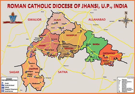
Bundelkhand is a geographic region of central India. Bundelkhand region is located between 230 20’ and 260 20’ N latitude and 780 20’ and 810 40’E longitude. In current scenario the region is now divided between the states of Uttar Pradesh and Madhya Pradesh. The Major towns under region are 7 Districts of Uttar Pradesh i.e – Jhansi, Lalitpur, Jalaun, Hamirpur, Mahoba, Banda, Chitrakoot and 6 Districts of Madhya Pradesh i.e- Datia, Tikamgarh, Chhattarpur, Sagar, Damoh, and Panna.
It is predominantly an agrarian economy; over 80% of population is dependent on agriculture, livestock, usufructs from forest and outsourcing income by seasonal migration after Rabi sowing. Bundelkhand region is ravenous, undulating and hillocks are bound by Vindhyan Plateau in south, river Yamuna in north, river Ken in east and rivers Betwa and Pahuj in west. While the Yamuna flows from west to east, its first order tributaries viz., Betwa, Ken, Pahuj, Baghain, and Paisuni flow from south to north. Second order tributaries of the Yamuna namely, Dhasan, Jamni, Birma, Sonar, Katne, Bewas, Kopra etc., also drain the area. The entire system of drainage and stream flows form a part of Ganga basin. The region generally has a slope from south to north. The elevations in the area ranges from 600 m above mean sea level in southern part to 150 m near Yamuna River.